The spatial data skills and drone survey techniques covered in our agriculture workshop have direct relevance to land assessment, site condition recording and pre-development soil analysis. This page explains the overlap.
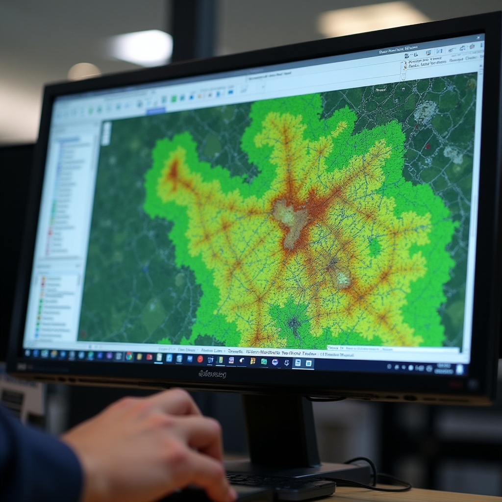
Agricultural land in Poland increasingly changes use. Development projects on formerly farmed land benefit from understanding what the soil holds, how water moves across the site and where historical compaction or contamination patterns exist. The drone imagery and QGIS skills taught in our workshop are directly applicable to that kind of site assessment work.
We do not run a surveying or land development consultancy. What we do is teach the tools, and those tools have more applications than farming alone. If your development team includes people who will be working with agricultural or peri-urban land, the workshop provides practical skills they can apply immediately.
Creating a georeferenced aerial map of a site is directly useful for land boundary documentation, change detection over time, and recording site conditions before and after development. The drone flight planning and image processing skills in the workshop apply to any open land area.
Multispectral imagery reveals soil moisture patterns and organic matter variation that affect drainage design, foundation suitability assessments and landscape planning. Understanding how to read these maps is useful background for development teams working with geotechnical consultants.
QGIS skills taught in the workshop include importing survey data, working with cadastral layers, calculating areas and creating print-quality maps. These are directly transferable to land boundary analysis, planning application support and site condition documentation.
The soil moisture sensor module includes reading sub-surface water movement patterns from sensor arrays. On development sites with drainage requirements, understanding how water moves through the existing soil profile before construction begins is useful input to drainage design.
We do not provide surveying services, environmental impact assessments, geotechnical reports or planning advice. The workshop teaches skills. Applying those skills to a specific development project requires professional engagement with licensed surveyors and planning consultants in Poland. We can help your team understand the data those professionals produce, but we do not replace them.
The workshop is designed to be accessible to anyone who works with land, not only farmers. Team members who typically find the content relevant include site managers responsible for land condition recording, project managers overseeing pre-construction surveys, environmental compliance officers monitoring land use change, and technical staff who will be interpreting drone survey outputs from specialist subcontractors.
If your organisation is considering commissioning drone surveys or soil mapping for a site and you want to be able to evaluate the outputs critically rather than simply accept a report, the workshop provides that foundation.
Discuss Group Attendance