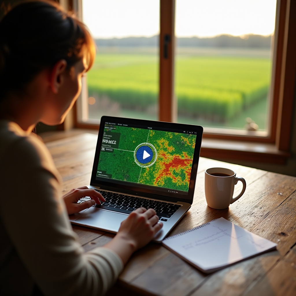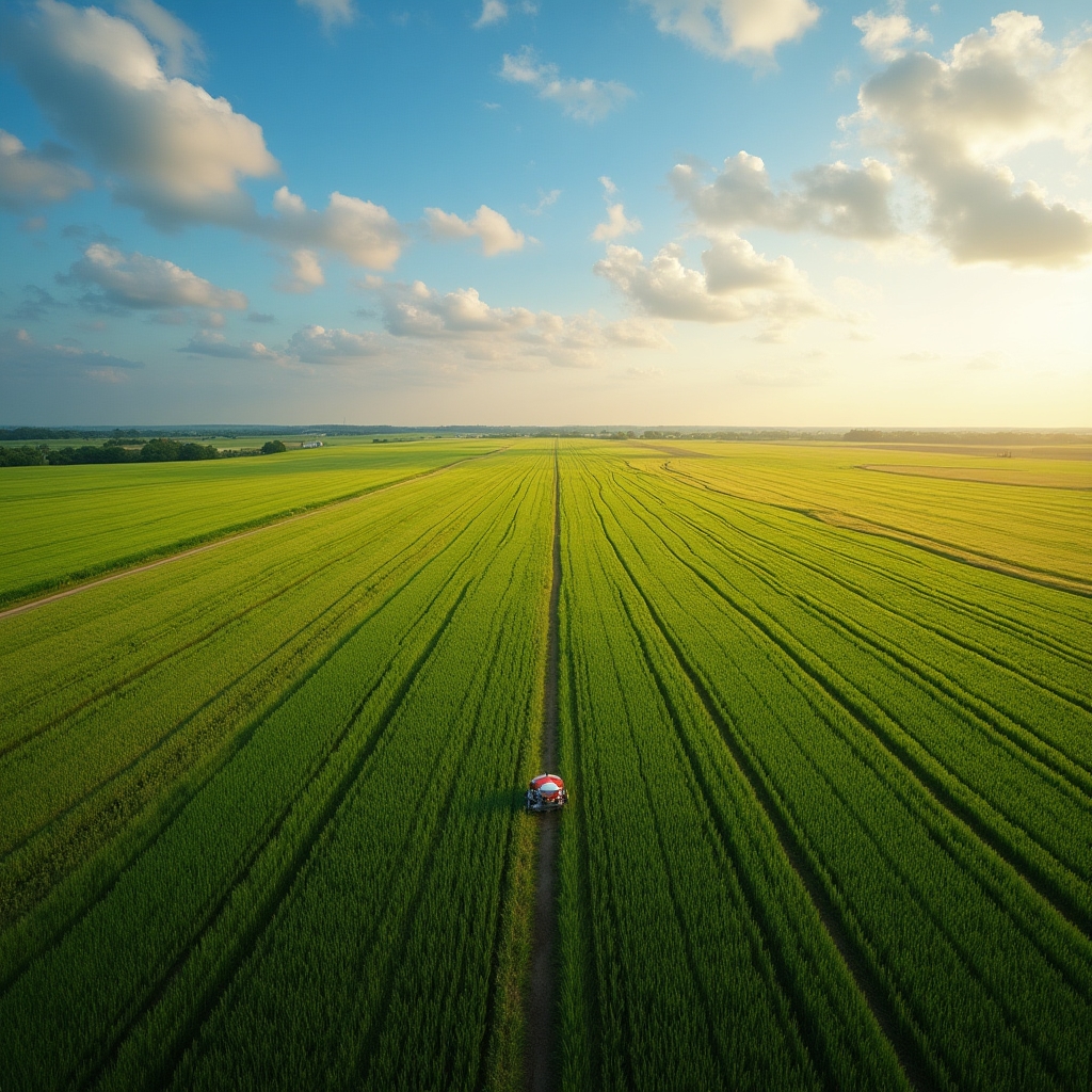
A practical workshop on drone crop imaging, soil moisture sensing, GPS variable-rate application and open-source farm software. Built for small and medium Polish farms. We teach the technology. We do not sell anything.
Precision agriculture tools have become genuinely affordable and practical for farms under 200 hectares. The barrier is not cost. It is knowledge. This workshop exists to close that gap. Two days, small groups, real equipment, honest instruction.
We are independent trainers. We hold no commercial agreements with hardware vendors. Every recommendation in the room is given on merit, not margin.

Each day is structured around practical sessions with short theory blocks. You leave with notes, software installed, and a clear sense of what to try on your own farm next season.
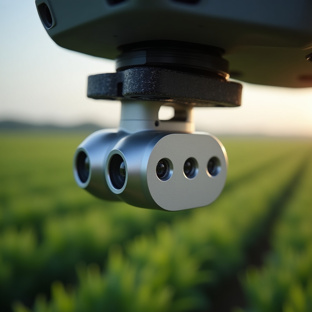
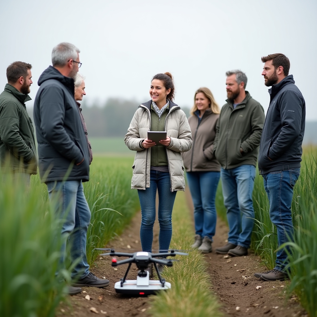
Morning: how multispectral drone imagery captures stress signals in crop canopies before any leaf shows visible symptoms. We fly a demonstration plot and interpret the resulting NDVI and NDRE maps together.
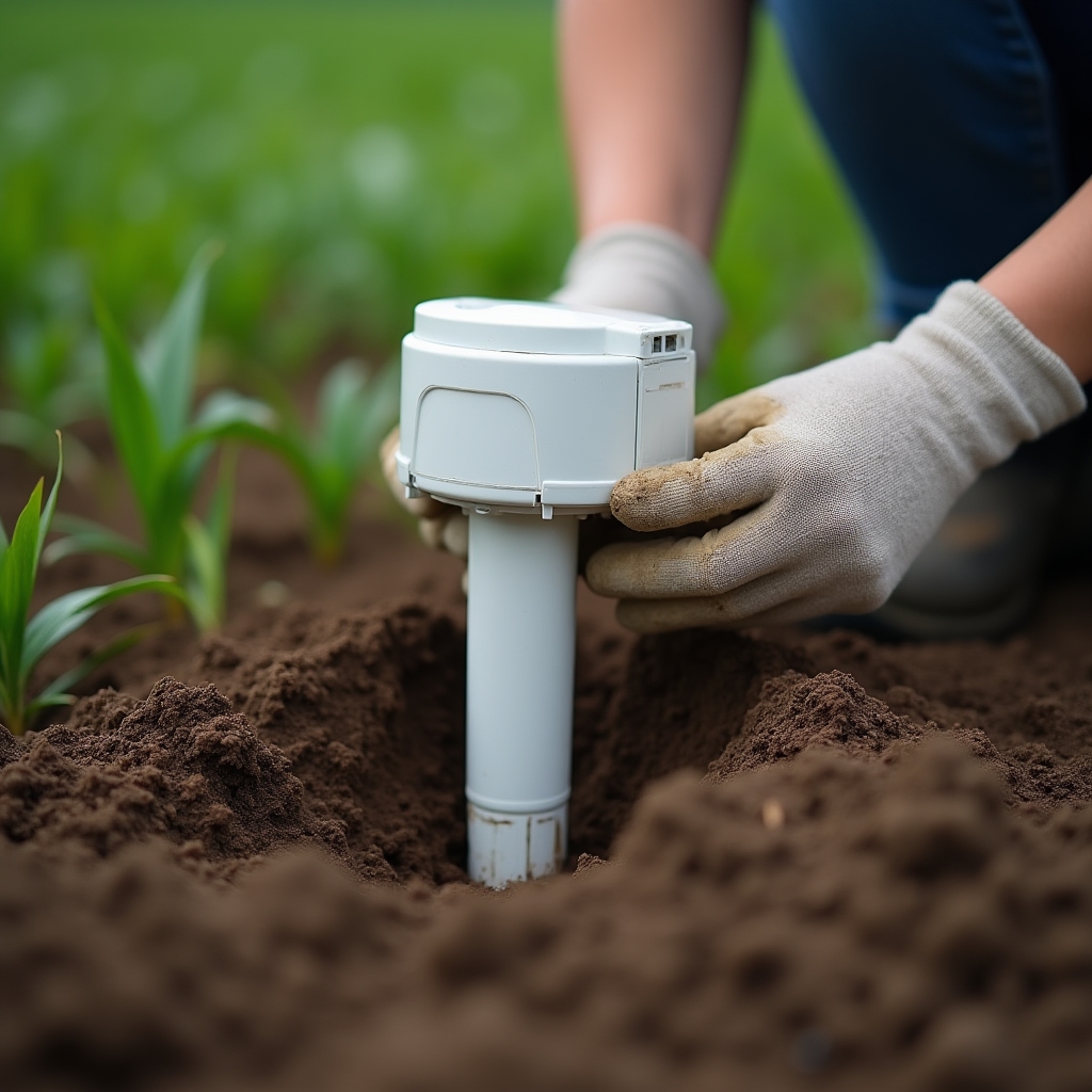
Afternoon: soil moisture sensor networks. How they work, where to place them in a field, how to read the data logs, and what the numbers actually mean for irrigation scheduling and drainage decisions.
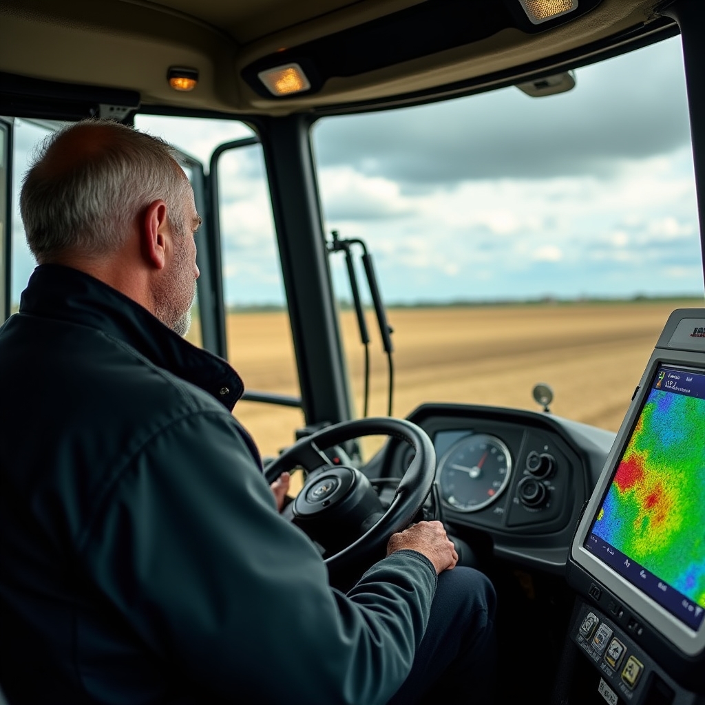
Morning: GPS-guided variable rate application. How prescription maps are built from drone data and soil samples, how they load onto a compatible spreader or sprayer controller, and what to expect on the first pass.
Afternoon: open-source farm management software. We walk through FarmHack, LiteFarm and FMIS options that run on a standard laptop. You install a working instance during the session. No subscription fee, no vendor lock-in.
Visible stress in a crop canopy is already late-stage stress. Multispectral sensors detect chlorophyll changes, water content variation and canopy temperature differences that precede any visible symptom by days or weeks. This module covers how those sensors work, what indices like NDVI, NDRE and CWSI mean in practice, and how to read a processed map without needing a remote sensing degree.
We also cover the legal framework for operating drones on agricultural land in Poland under current EASA regulations. You do not need a pilot licence for the equipment we demonstrate, but there are airspace and distance rules worth knowing before your first flight.
Capacitance sensors, tensiometers and TDR probes each measure soil water differently. The choice depends on your soil texture, the crop you are growing and what question you need answered. This module explains the physical principles without unnecessary abstraction and focuses on what the numbers mean for actual field decisions.
We discuss sensor placement grids, data logger options including low-cost LoRa-connected nodes, and how to export data into spreadsheets or farm software. Over-irrigation is as costly as under-irrigation for yield and for soil structure. Sensor data changes that equation when you can see what is actually happening at 30 cm depth.
Variable rate technology sounds complicated until you understand the three components: a prescription map (a georeferenced file telling the machine how much to apply where), a GNSS receiver with adequate accuracy, and a compatible controller on the spreader or sprayer. Many mid-size Polish farms already own equipment that is VRA-capable without knowing it.
This module walks through creating a nitrogen prescription map from a drone NDVI flight combined with soil sampling data. We use QGIS and an open interpolation workflow so there is no proprietary software required. The resulting shapefile loads directly into widely available ISOBUS-compatible terminal formats.
Commercial farm management platforms charge subscription fees that can be prohibitive for a 50-hectare operation. Several capable open-source alternatives exist. LiteFarm is a full field and crop management system developed with the University of British Columbia and available in Polish. FarmHack provides modular tools including field mapping and task management. OpenFarm maintains a collaborative crop growing database useful for regional variety planning.
During the session you install LiteFarm on a laptop or tablet and enter your own farm data. By the end of day two you have a working digital field record system that you built yourself and understand fully. There are no ongoing license costs and you own your data.
QGIS is the standard open-source geographic information system used by agricultural researchers, environmental consultants and increasingly by farm managers across Europe. It is free, runs on Windows and Linux, and handles every file format you will encounter in precision agriculture work.
This module introduces only the functions relevant to farm use: loading drone orthomosaics, drawing field boundaries, calculating zone statistics from spectral maps, and exporting prescription shapefiles. You do not need to understand map projections or database design. We focus on the four or five workflows that matter for crop management decisions.
Not every tool covered in the workshop will be the right fit for every farm. A 30-hectare vegetable holding has different needs from a 150-hectare cereal operation. The final session each day is a facilitated discussion where participants apply what they have learned to their own situation. What would you actually use? What would the payback period look like? Where is the risk?
We encourage honest assessment. Some farms will benefit from a modest investment in soil sensors and nothing else. Others are ready for a full GPS-guided fertilisation programme. The workshop gives you the knowledge to make that judgement for yourself, without anyone trying to sell you hardware.
The workshop is designed for farmers and farm managers running operations between 20 and 300 hectares who are curious about precision agriculture tools but have not yet had practical exposure to them. Agricultural advisors, agronomists and rural development officers also attend regularly. No prior experience with sensors, drones or GIS software is required.
Groups are kept small. This is a deliberate choice. Small groups allow the session to adapt to what participants actually want to understand, and they allow hands-on equipment time for everyone.
Two full days. Sessions run from 09:00 to 17:00 each day with breaks. Evening of day one is optional self-study time with access to the training room.
A maximum of twelve participants per cohort. This keeps the hands-on equipment time meaningful and allows the trainer to address individual questions properly.
A laptop running Windows 10 or later, or a recent version of macOS or Ubuntu. We provide all hardware for demonstration including the drone and soil sensors. Bring your farm field maps if you have them in any format.
Training base in Szczecin at Antoniego Ledóchowskiego 16. Field sessions take place on a working demonstration plot accessible by minibus from the venue. Szczecin is well connected by rail from Poznań, Berlin and Gdańsk.
Sessions are delivered in Polish. Written materials are available in both Polish and English. If a cohort includes English-only speakers, arrangements can be discussed in advance.
Participants receive a written record of topics covered and competencies demonstrated. This can support applications for regional agricultural development funding that requires documented training.
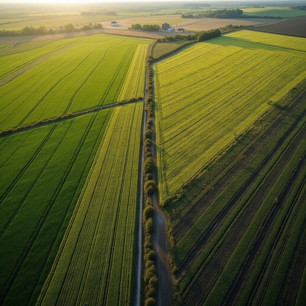
"The best time to detect a nitrogen deficiency is before the plant shows it. That requires data, not guesswork."Workshop training material, Module 3